
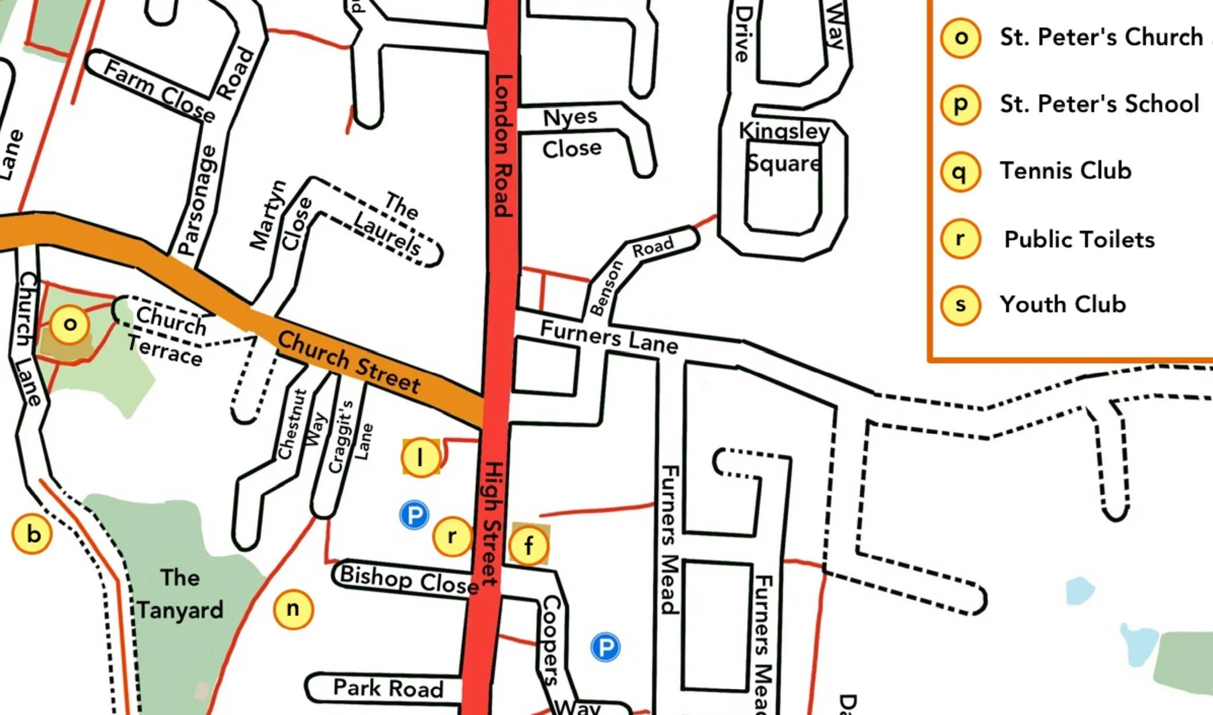
The map of the centre of Henfield was generously created for the community by one of our volunteers. While every effort was made to ensure the information was accurate at the time of publication, details may change over time.
The map highlights key landmarks, open green spaces and community facilities, as well as the major roads, tracks and footpaths throughout the area.
You are welcome to download, print and enlarge the map for your personal use. Please note that it must not be reproduced or used for commercial purposes.
